How a Sighting becomes a Record
After you have submitted a wildlife sighting to the MKNHS Sightings Inbox you should receive an e-mail thanking you. It will also say: ‘Please don’t forget to submit this sighting to become a record’. Sightings are there for MKNHS members to enjoy. But turning these into permanent Biological Records needs you, as the person who saw a particular species, to provide information to a Biological Records body so they can decide whether to turn it into a Record.
Why Records are important
Records of species are important because they:
- are sightings that have been accepted as records, have usually been checked to verify that they are reliable identifications and that the other details, such as location, are accurate
- enable us to understand the distribution of species and whether they are spreading or declining
- form the basis for understanding more about habitats and species, whether plants, animals, or other wildlife.
- make sure that when building developments are planned, this is done with knowledge of what wildlife is there
What information is needed in a Sighting?
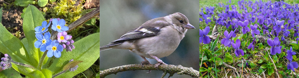
The basic information needed is: Who, What, Where, When.
- Who: your surname and forename
- What is the name of the species you saw? (see below)
- Where did you see it? Name of location, with a 6-figure grid reference (e.g. SP 586741)
- When did you see it? Simply the date in full, unless time of day is significant
- A brief observation, such as how many you saw, or what it was doing
- A photo should be added where possible.
For species name you should put the scientific name if possible and you can add the common English name. If you don’t know the scientific name, you should be able to find this in a field guide book or in identification guides online, or you can search online from the common name.
Plenty of books and online resources for identification of species are listed in the Identification Guides section of this website: Identification Guides | Milton Keynes Natural History Society (mknhs.org.uk)
An easy way to find a grid reference is online at: https://gridreferencefinder.com/
Where to send your Sightings so they can become Records
The main local organisation that needs these Records is BMERC, the Bucks & Milton Keynes Environmental Records Centre, which also receives records from national organisations specialising in particular species groups. If your sighting is in another County you should send your records to the Records Centre for that County, such as: Bedfordshire & Luton Biodiversity Recording & Monitoring Centre (B&L BRMC), Northamptonshire Biodiversity Records Centre (NBRC) and, for Oxfordshire, Thames Valley Environmental Records Centre (TVERC).
When a developer wants to submit a planning application to a local Council, they use data from local environmental records centres to know what species use their site, so they can plan how to minimise effects of their development on wildlife and planning authorities can decide what conditions will be required to protect biodiversity.
You have options of where and how to send your sightings. For most MKNHS members, one or more of the first three of these are probably the most appropriate:
- For bird sightings we recommend entering your sightings online to Bucks Bird Club ‘Sightings’ page. The reliability of these sightings is checked. Records are transferred to BMERC periodically and to the British Trust for Ornithology. These records contribute to monthly bulletins and annual bird reports for their members and an occasional atlas. Details of how to register at: http://www.bucksbirdclub.co.uk/sightings_info.htm
- If you think you have found a rare species or you are recording an ongoing and large quantity of sightings of a particular group, such as moths or flora, you should contact the County Recorder for that group. For many species groups there is no County Recorder, so those other sightings are checked by BMERC staff. Ask BMERC for information about County Recorders: erc@buckinghamshire.gov.uk
- BMERC. You can e-mail your other sightings to BMERC by: Word document, Pdf or Spreadsheet, using their standard forms. There is no requirement to register. Your sightings will be validated, and identifications will be verified, in some cases by a County Recorder specialising in a particular group. Details at: https://www.bucksmkerc.org.uk/
- Some national species groups have local groups through which you can submit your sightings. Examples are: Buckinghamshire Amphibian & Reptile Group, Butterfly Conservation Upper Thames Branch, North Bucks Bat Group. Contact details for these and others are on the BMERC website, under ‘Natural History Groups in Buckinghamshire & Milton Keynes’: https://www.bucksmkerc.org.uk/get-involved/
- You may be carrying out regular surveys such as for bumblebees, hoverflies or lichens. In which case you may want to submit your sightings direct to a specialist national recording group, such as: Bumblebee Conservation Trust, the Hoverfly Recording Scheme or British Lichen Society. They will carry out validation and verification of sightings. Their records should eventually be copied to County Records Centres such as BMERC. A full list of national recording schemes is held by the Biological Records Centre UK: https://www.brc.ac.uk/recording-schemes
- iRecord. You can register free with iRecord, which is run by the Biological Records Centre UK, then upload your sightings online whenever you want. Periodically they will transfer these records to county environmental records centres, including BMERC, indicating the level of validation and verification that has been applied to these. Details at: https://www.brc.ac.uk/irecord/
- MapMate. Some naturalists who do plenty of ongoing observations of wildlife, such as regular moth-trapping or mammal surveys, pay to store their sightings on their own copy of MapMate. Periodically they generate a spreadsheet from this which they submit to a County Recorder for their species group, or direct to a recording organisation such as BMERC. MapMate also enables you to retain a personal database and mapping of your sightings. Details at: http://www.mapmate.co.uk/